
Imagine trying to guess the total weight of a football stadium crowd just by looking down from the upper rows. Not bad, actually. Individual differences average out, and you can guess up to some extent. Now try to guess the weight of one specific person in seat 214. Good luck.
You just learned the central problem with measuring forest carbon.
For decades, verifying a forest carbon project meant trusting an estimate for millions of trees spread across a landscape nobody could physically walk. Now that’s a huge transparency problem. Land use change accounts for 13 to 21 percent of global greenhouse gas emissions, and deforestation is responsible for nearly half of that number on its own. If we can’t measure the forest, we can’t trust the carbon credit.
This is where digital MRV comes in, monitoring, reporting, and verification. The whole point is to stop guessing and start measuring, consistently, at scale, from space.
Here’s the thing though, the first generation of satellite tools were basically judging a book by its cover. Literally, the optical satellites took top down photos and scientists estimated carbon storage from how green the canopy looked. That method has two real problems. You can’t measure wood from a photo, only leaves. And once the canopy closes into a solid green blanket, the satellite is blind to whatever growth or damage is happening underneath.
So the field moved to lasers. Spaceborne LiDAR instruments, GEDI and ICESat-2, fire billions of laser pulses down through gaps in the canopy and measure the actual structure underneath, height, volume, the stuff optical imagery could never see. That data trains a model built on high resolution airborne LiDAR, which is basically ground truth from a plane instead of a satellite.
But one sensor still isn’t enough. To really see a forest, you need to fuse three of them. Multispectral imagery reads the skin of the forest, sensitive to leaf level greenness. Radar reads the skeleton, since it can sense wood volume and cut straight through the persistent cloud cover that blinds optical sensors over the tropics. LiDAR fills in the structure in between them.
Nature is noisy though. Clouds, orbital drift, sensor calibration, all of it adds static to the signal. So the system runs three statistical models on every single pixel and lets the data pick the winner. A constant model for stable forest, where any wobble is just noise. A spline for slow, gradual change like degradation or regrowth. And a change point model for sudden events, fire, logging, the stuff that happens overnight. An information criterion penalizes unnecessary complexity so the model doesn’t chase noise, because nature doesn’t grow in straight lines and the model shouldn’t pretend it does.
Here’s where it gets interesting for anyone actually trading these credits.
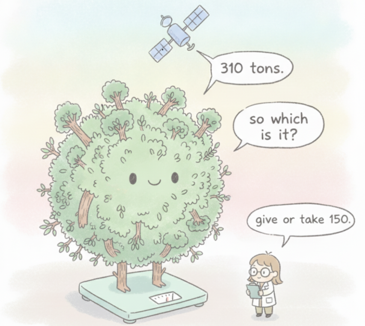
Zoom out to the country level, and this system’s carbon estimates correlate with independent satellite data at 0.98. Almost a straight line. Zoom into a single 30 meter pixel, one patch of forest, and that correlation drops to 0.58. Same data, wildly different confidence, depending entirely on how far back you stand.
That’s not a flaw. That’s the football stadium problem again. Individual pixels are noisy. Large areas average that noise out.
Remember when uncle Ben said, “With great power comes great responsibility”?
The same principle applies here, the data comes with a responsibility to be honest about its limits, not just its strengths. When this system’s results were compared among 73 California forest management projects, it was found that the system overestimated carbon stocks 48 percent of the time and underestimated 22 percent of them. Only 20 percent were within the 10 percent of the ground truth number.
That’s the gap EUDR (European Union Deforestation Regulation) is trying to close. You can’t make a green promise anymore without a satellite standing behind it.
No system is perfect. At least now we are moving away from a single trusted number, toward an honest range with the uncertainty printed right on the label.
We have entered an era where a forest’s carbon can be measured from 400 kilometers up in space. The question is whether we are going to make use of this technology or find excuses and pay for the cost of inaction later.
This breakdown is based on the paper by Christopher B. Anderson et al., titled “Forest Carbon Diligence: Digital MRV for Jurisdictional and Voluntary Offsets Markets.”